Area wide flood watch issued
|
March 3, 2014 |
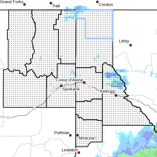 |
An area wide flood watch has now been issued on
the heels of the region's most severe snowstorm
of the season. Temperatures are now expected to
warm and the snow turn to rain, creating the
possibility of flooding along area rivers and
streams though the end of the week.
The flood watch goes into effect Tueday
afternoon through Friday morning.
According to the National Weather Service, the
region will come under the influence of a milder
and more moist weather pattern through the week,
with warmer temperatures expected to lead to a
fairly rapid melt-off of the recent snow at low
to mid-level elevations.
A pair of wet storm systems are expected to
bring moderate to heavy rainfall across the
Idaho Panhandle and northeast Washington that
could bring up to an inch of rain, and up to 1
1/4 inch is possible in some areas, which is
likely to lead to heavy storm-water runoff and
rising rivers, creeks and streams.
In addition, the rains, expected over a
three-day period with the heaviest precipitation
coming Wednesday and Thursday, could high debris
flow as well as trigger mudslides. With
still frozen soils, infiltration will be poor,
further increasing runoff problems, especially
in urban and low-lying areas.
There is a good chance that main streams and
rivers will be running high by the weekend.
Those in flood-prone areas are urged to take
precautions to reduce flood risks, and be
prepared to take necessary actions should
serious flooding occur. |
|
Questions or comments about this
article?
Click here to e-mail! |
|
|
|
|
