Watch now a winter storm warning
|
|
March 1, 2014 |
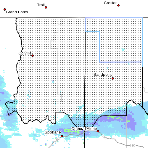 |
The winter storm watch issued by the National
Weather Service yesterday has been upgraded to a
winter storm warning, effective from 4 a.m.
Sunday through 4 p.m. Monday, meaning confidence
in the threat of nasty weather has increased.
The National Weather Service now predicts slick
roads tonight with light snow, which will
increase in intensity through Sunday and into
Monday, which will create hazardous driving
conditions, particularly for the Monday commute.
Up to an inch of snow is predicted in the
valleys overnight tonight, and an additional
five to eight inches falling region-wide by
Monday morning, with some valley areas getting
up to 10-inches. More than a foot of new snow is
expected in the mountains.
Snowfall is expected to be light Saturday night,
increasing to moderate and heavy through the day
on Sunday before tapering off in the valleys
Sunday night. A second round of moderate
snowfall is expected to move in Monday
afternoon.
Northeast winds of 10 to 15 miles per hour,
gusting to 25 miles per hour, are expected
through the Purcell Trench through midday
Sunday, then calm to five to 10 miles per hour.
On Monday afternoon, the winds are expected to
switch to the southwest at about three to eight
miles per hour. |
|
Questions or comments about this
article?
Click here to e-mail! |
|
|
|
|
