|
Moderate to heavy rain expected tonight,
Wednesday |
|
March 28, 2017 |
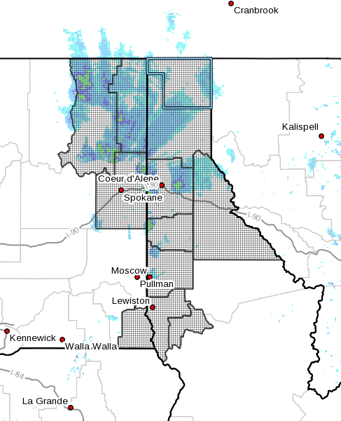 |
The National Weather Service has issued an areal
flood watch for the region, including Boundary
and Bonner Counties, effective from tonight
through Friday morning as a warm, moist storm
system is expected to bring moderate to heavy
rains to the area beginning late tonight through
Wednesday.
The incoming system is expected to drop between
one-half to 1.2 inches of new rain, especially
at higher elevation, which will contribute to
snow melt, creating the potential for several
inches of runoff onto ground still saturated
from the last rounds of precipitation.
In addition to increased river and small stream
rises, field flooding and storm drain flooding,
the new rainfall could also increase the chances
of catastrophic mudslide, and contribute to
sloughing in area that previously slid. Road
flooding and possible washout is also a
possibility. |
|
Questions or comments about this
article?
Click here to e-mail! |
|
|
|
|
