|
It looks like we'll have a white Christmas |
|
December 22, 2016 |
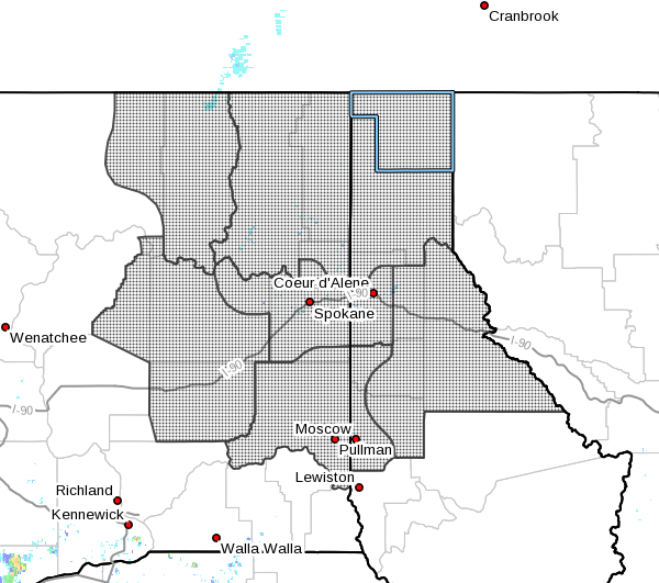 |
According to the National Weather Service,
there's a good chance that Boundary County and
the region will see a new dash of snow just in
time for Christmas; they've issued a winter
weather advisory for snow from 4 a.m. Friday
through 10 a.m. Saturday.
Forecasters are predicting three to five inches
of fresh snow across North Idaho and
northeastern Washington, with some isolated
areas getting as much as seven to eight inches.
Snow is expected to begin falling Friday morning
and fall steadily through Saturday morning, with
temperatures hovering around the freezing point
until Saturday night, when it's expected to dip
to about 15 degrees.
On Christmas day, sun breaks and a daytime high
temperature of 22-degrees are expected, and a
few snow flurries are possible. Overnight lows
Christmas night will be brisk, dipping as low as
five-degrees.
More snowfall is expected on Tuesday, along with
warmer temperatures. |
|
Questions or comments about this
article?
Click here to e-mail! |
|
|
|
|
