Brutal cold could be coming
|
|
January 4, 2012 |
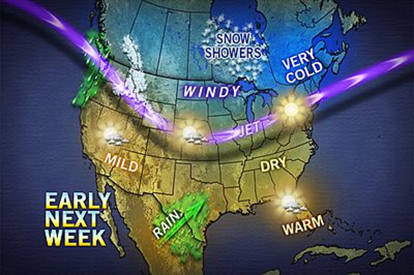 |
| AccuWeather
graphic |
|
AccuWeather today reports that beginning near or just
past the middle of the month, signs are pointing
toward waves of frigid air moving southward
across North America from the North Pole.
Much of the nation has been experiencing
higher-than-average temperatures and lower
heating bills so far during the cold weather
season, with the exception of some bouts the
past couple of weeks.
However, there are signs of a potential change
on the way beginning during the second half of
January.
A phenomenon known as sudden stratospheric
warming has occurred in the arctic region during
the past few days. The stratosphere is located
between six miles and 30 miles above the ground.
Often when this occurs, it forces cold air to
build in the lowest layer of the atmosphere then
to drive southward.
The problem is the exact timing and location of
the emergence of this cold air is uncertain.
Typically, the movement of cold air begins 10 to
14 days later.
During the next week or so, a flow of milder
Pacific air will invade much of the nation.
Because of the time of year, some locations (the
northern part of the Great Basin and northern
New England) may hold on to the cold they have
now due to long nights, light winds and weak
sunshine. However, most locations will
experience an upswing in temperature for at
least a several-day period.
According to AccuWeather.com's Long Range Team,
including Mark Paquette, "Overlaying this with
other tools, we expect to see cold air spreading
out from central Canada later next week into
week three of January."
It is possible the cold push will arrive in one
big blast. However, it is more likely the cold
will advance along in waves of progressively
colder air with each wave driving farther south
and east.
According to long range weather expert Paul
Pastelok, "The early indications are that the
initial thrust of the brutal cold will be
directed over the Northwest, northern Rockies or
northern Plains first, with subsequent waves
reaching farther east."
Expert senior meteorologist Brett Anderson said,
"Initially, the cold may seem to be
run-of-the-mill or even delayed, but once the
cold air engine starts, it may run for quite a
while with progressively colder and colder waves
of air."
According to Jack Boston, expert senior
meteorologist, "As the waves of cold air spread
to the south and east, some energy may be
released in the form of a series of storms
riding the cold air."
The storms may initially track from the
Southwest to the Upper Midwest, then the western
Gulf to the Great Lakes, the eastern Gulf to the
Appalachians and perhaps finally northward along
the Atlantic Seaboard.
Joe Lundberg, expert senior meteorologist added,
"While a zone of high pressure off the southern
Atlantic coast will offer some resistance to the
cold initially in the East, most of the time in
situations like this, cold air finishes the job
and reaches the Atlantic Seaboard."
AccuWeather.com was expecting a stormy pattern
to set up beginning the second half of January
in the Eastern states and much lower
temperatures this winter, when compared to last
winter from the Mississippi Valley to the East
in its “Winter 2012-13 Forecast.”
So while the atmosphere may seem to be settling
into a pattern like last winter for some people,
meteorologists at
www.AccuWeather.com will be watching the
evolution of the winter beginning in mid-January
with great interest.
|
|
Questions or comments about this
article?
Click here to e-mail! |
|
|
|
|