|
|
|
 |
|
September 6, 2022, 12:30 pm |
The multiple forest
fires in Boundary County continue to burn and,
in the face of concerning weather
conditions, remain at risk for progression and
advancement.
Last Friday, fire
officials grouped all the several forest fires
in the Boundary County area into a single forest
fire incident, which was named the Kootenai
River Complex Fire.
As of around 9:00 am
this morning, the burn area for the combined
components of the Kootenai River Complex Fire is
12,487 acres. This Boundary County fire is
currently the fourth largest fire in Idaho out
of 21 fires now burning in the state.
Information on the three larger Idaho fires is
provided below near the end of this article.
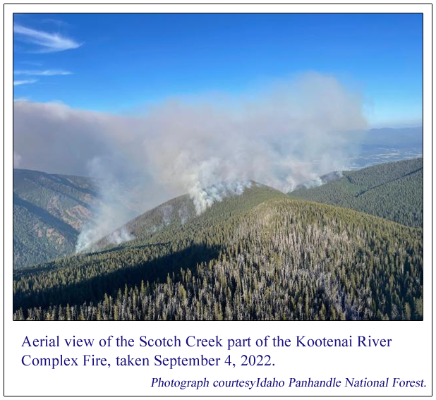
Getting back to our
local fires, the Kootenai River Complex Fire,
Forest Service officials report there are 168
fire personnel working the fires here. Multiple
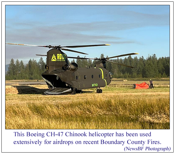
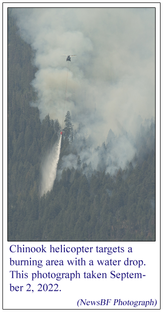
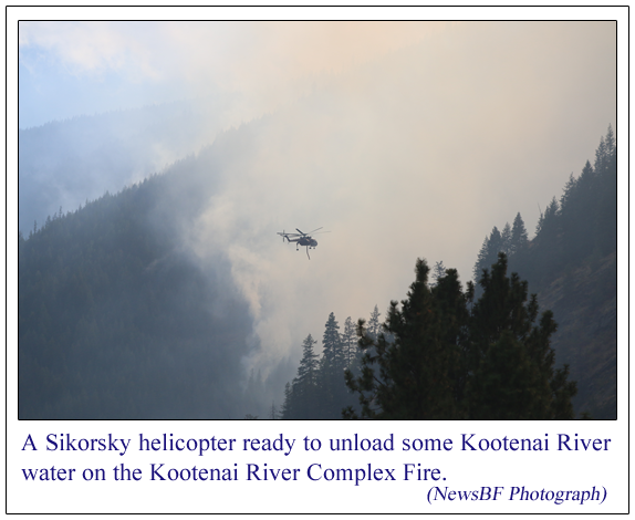
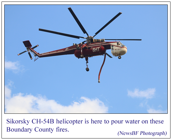
helicopters can be seen throughout the day
carrying water drawn from the Kootenai River and
also fire retardants to attack the fires. On
observing activity at the Westside Road area
near the fires yesterday, it was seen that about
every one minute a helicopter would rotate back
to the nearby Kootenai River to refill its water
tank and return to re-engage with the fires.
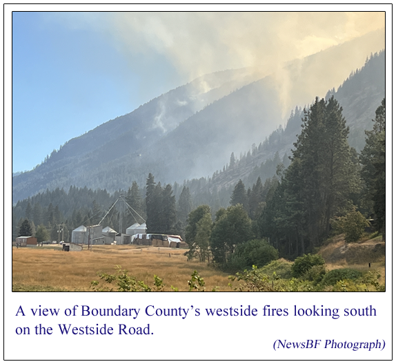
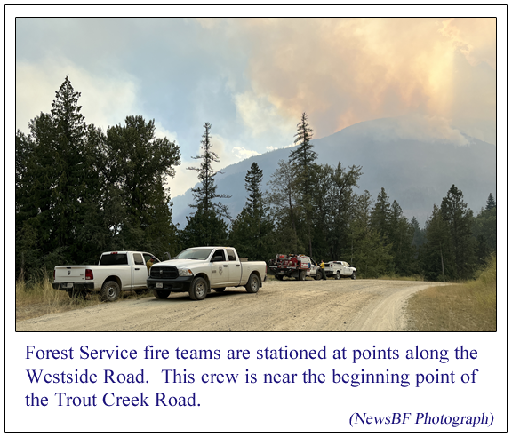
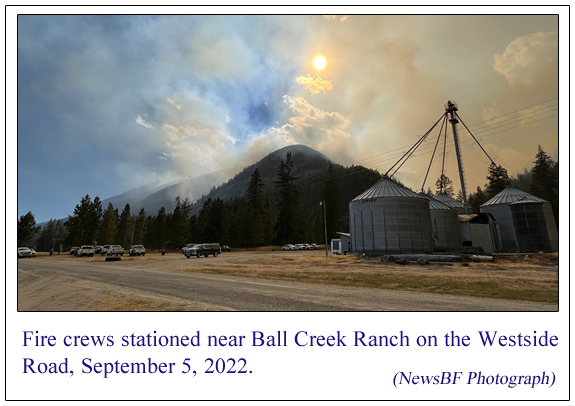
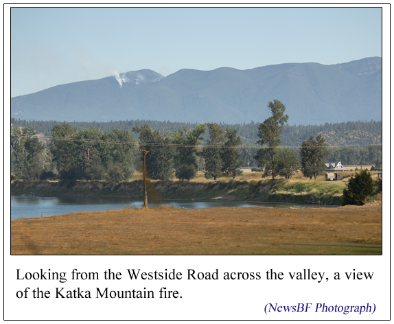
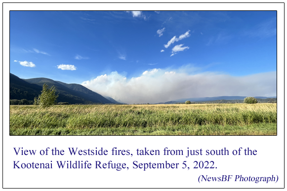
The Westside road is
the area where homes and other built structures
are under greatest threat from these fires.
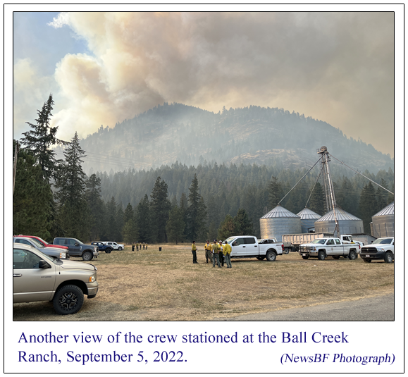
There are crews stationed at points along the
Westside Road, who along with other duties are
working to help prepare protection for
structures and putting in place equipment and
measures to protect the buildings at risk there.
These crews stationed on Westside Road have been
and will continue to be working into the night.
There are no
evacuation orders at this time, however under
the "Ready-Set-Go" evacuation system, residents
along the Westside Road near Burton Road and
Ball Creek Road are currently on "Set"
evacuation status.
Some of the farmers
of the valley land east of the Kootentai River
have used their equipment to build fire breaks
on their land. Boundary County Emergency
Management staff have sent out notification that
there will be controlled field / stubble burns
on some of the privately-owned lands in the high
risk areas. This "pre-burning" is intended to
inhibit spot fires from being started by
floating, glowing, hot embers from the nearby
forest fires.
The Boundary County
Commissioners declared a county emergency on
September 2, citing numerous rapidly growing
fires that threaten firefighter and public
safety, structures, private timber, livestock,
and crop protection.
Fire officials have
advised that wind driven runs and short range
spotting of these fires is expected to continue
with general spread of the fires to the east and
north, potentially putting structures in danger.
They are predicting that Wednesday and Thursday
will be the days of greatest risk for possible
damage to structures. "Wednesday and Thursday
will be the days to watch," they said in their
recent press release. Rain is not expected.
At this time
officials are estimating that the fire will be
contained by mid-October.
As mentioned above,
the Kootenai River Complex is Idaho's fourth
largest fire at the time of this writing. The
three Idaho fires that are larger than the
Kootenai Complex are:
1.
Moose Fire near
Salmon, Idaho. This is a human-caused fire,
which has burned 107,523 acres. Total personnel
working this fire is 705.
2.
Ross Fork Fire,
located near Alturas Lake in central
Idaho's Sawtooth area. This fire has burned
24,026 acres and is currently 4% contained. The
Ross Fork fire had a dramatic increase in fire
behavior yesterday. Idaho Highway 75 in the
area, which travels through Stanley, Idaho, was
closed overnight. Some areas near the fire are
in a mandatory Level 3 "GO" evacuation. This
fire is about 90 miles northeast of Boise.
3.
Four Corners Fire,
located just west of Lake Cascade and
about 20 miles south of McCall, Idaho. This fire
has burned 13,645 acres.
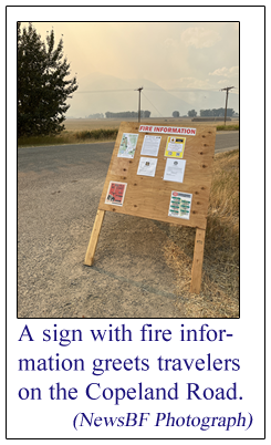
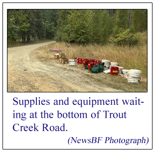
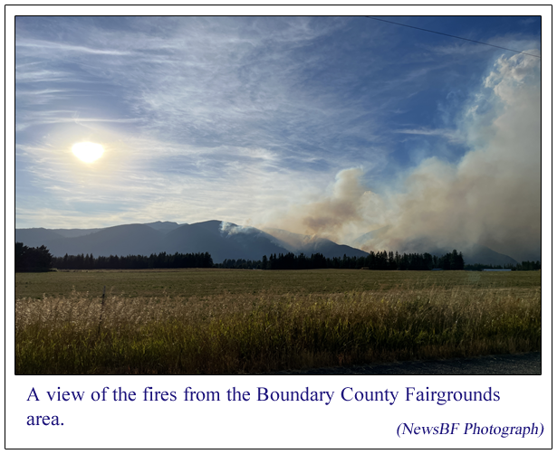
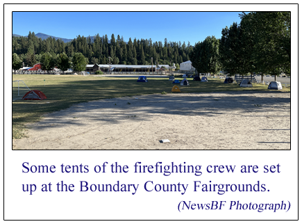
Please take a look at
the photographs below accompanying this article.
These photographs show the fires, some of the
helicopters in use, some fire crews, and more.
We have also prepared a video of 1 minute, 50
seconds duration, showing a Sikorsky helicopter
dropping low over the surface of the Kootenai
River to draw up another load of water to drop
on the burning slopes of the west side. That
video
also accompanies this article, and a link for
the video can be found below all of these
photographs.
FOR OUR VIDEO OF A HELICOPTER DRAWING WATER FROM
THE KOOTENAI RIVER FOR AN AERIAL WATER DROP,
CLICK THE FOLLOWING PICTURE OR THE LINK BELOW
THE PICTURE: (The video lasts
1 minute, 50 seconds)
Click this link to
watch the video:
VIDEO: Helicopter loading water from the
Kootenai River
|
|
Questions or comments about this
article?
Click here to e-mail! |
|
|
|
|
|

