 |
At this time, ice accumulations over the next several days look to be a light glazing, with the most significant potential impact to travel on Friday morning.
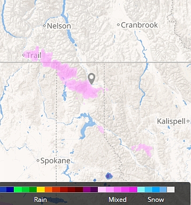
For the first time in days, temperatures are expected to be above freezing Friday and Friday night in Bonners Ferry, with thermometers staying right in the mid 30s, but it comes with a 50-percent chance of a slushy, snowy mix, a chance that increases to near 100-percent Friday night, turning to mostly snow by early Saturday.
The snow level climbs to 5,000 feet during the day on Friday.
As we go into the day on Saturday, the snow will turn back to a frozen mix as temperatures rise to the upper 30s in Boundary County, with a 70-percent chance of precipitation decreasing again to 50-percent, and turning to snow, on Saturday night and into Sunday.
Daytime highs stay in the mid to upper 30s through Tuesday, but nighttime temps drop back below freezing in the upper 20s to low 30s Sunday night.
Mushy, sloppy weather with a mix of stuff falling drops off to 30 percent on Friday, January 12, but it may be a bit longer than that before we see the sun again.